River Tay - upper course
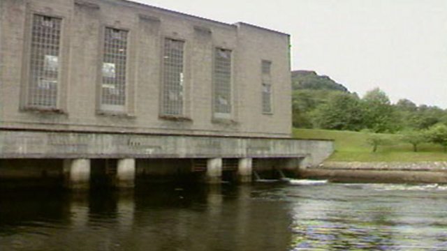
An illustration of the upper course characteristics and landforms of the River Tay, Scotland. In its upper course, a river is shallow and narrow. As it flows quickly downhill it erodes soil and rock, often producing waterfalls and gorges. As the Tay continues its journey, it cuts deeper into the river bed forming a V-shaped valley. The only human control on the water entering the Tay is on the River Tummel, where a series of dams channel the water through a network of hydroelectric power stations before the water returns to the Tummel and subsequently joins the Tay.
Duration:
This clip is from

More clips from Bitesize: Geography
-
![]()
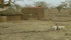
Burkina Faso – large scale impact of desertification
Duration: 02:23
-
![]()
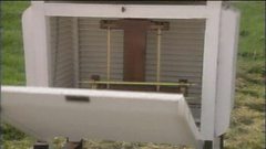
Data collection at weather stations
Duration: 01:02
-
![]()
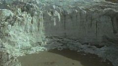
Highland landforms – before and after glaciation
Duration: 02:03
-
![]()
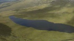
Lochaber – high level glaciated landscape
Duration: 02:28