Main content
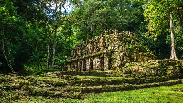
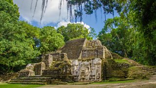
How do you map an ancient city in the middle of a jungle?
Prof Tim Murtha and Dr Eben Broadbent from the University of Florida show CrowdScience presenter Melanie Brown how they're using drones and LIDAR, a technology using lasers, to create 3D maps of archaeological sites.
Photo: Yaxchil谩n, Maya ancient city
Credit: Kelly Cheng, Getty Images
Duration:
This clip is from
More clips from CrowdScience
-
![]()
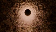
What would happen if we fell straight through the earth?
Duration: 02:34
-
![]()
Why is aurora green?
Duration: 02:19
-
![]()
In a random universe, is anything predictable?
Duration: 01:58
-
![]()
How do birds survive so high up?
Duration: 02:13