Episode details

Available for over a year
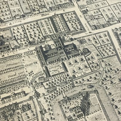
Esther Hoyle from the South West Heritage Trust explains how Wells was mapped from 1735. Image: Somerset Archaeological and Natural History Society
Programme WebsiteUse ÃÛÑ¿´«Ã½.com or the new ÃÛÑ¿´«Ã½ App to listen to ÃÛÑ¿´«Ã½ podcasts, Radio 4 and the World Service outside the UK.

Available for over a year
Esther Hoyle from the South West Heritage Trust explains how Wells was mapped from 1735. Image: Somerset Archaeological and Natural History Society
Programme Website